
Over the past few years, the way students learn has changed. While technology and social media have made it difficult for teachers to maintain students’ attention in the classroom, the transition to virtual learning brought on by COVID-19 presented even bigger issues. Educators used to teaching in person found themselves lecturing in their homes and on little black screens. The problem of late assignments also increased, despite students at home having more time on their hands.
These issues, which came with the abrupt shift to online classrooms, proved to be a harrowing experience for both teachers and pupils. Pretty soon, clicking through a PowerPoint or scrolling through a Word document with a class on mute turned sour and boring. However, the need to adapt to a new learning environment meant that lesser-known digital creativity platforms sprung into relevance. Platforms like Prezi have blown up thanks to interest from students and teachers alike. Another contender is stepping up to the plate as well, specifically for college students and others involved in higher education. For some college students, creating a visual presentation sounds daunting, but with the pandemic forcing people to stay home, presentations were forced to become more interactive. The platform ArcGIS has become a popular outlet for not just presenting projects but telling stories.
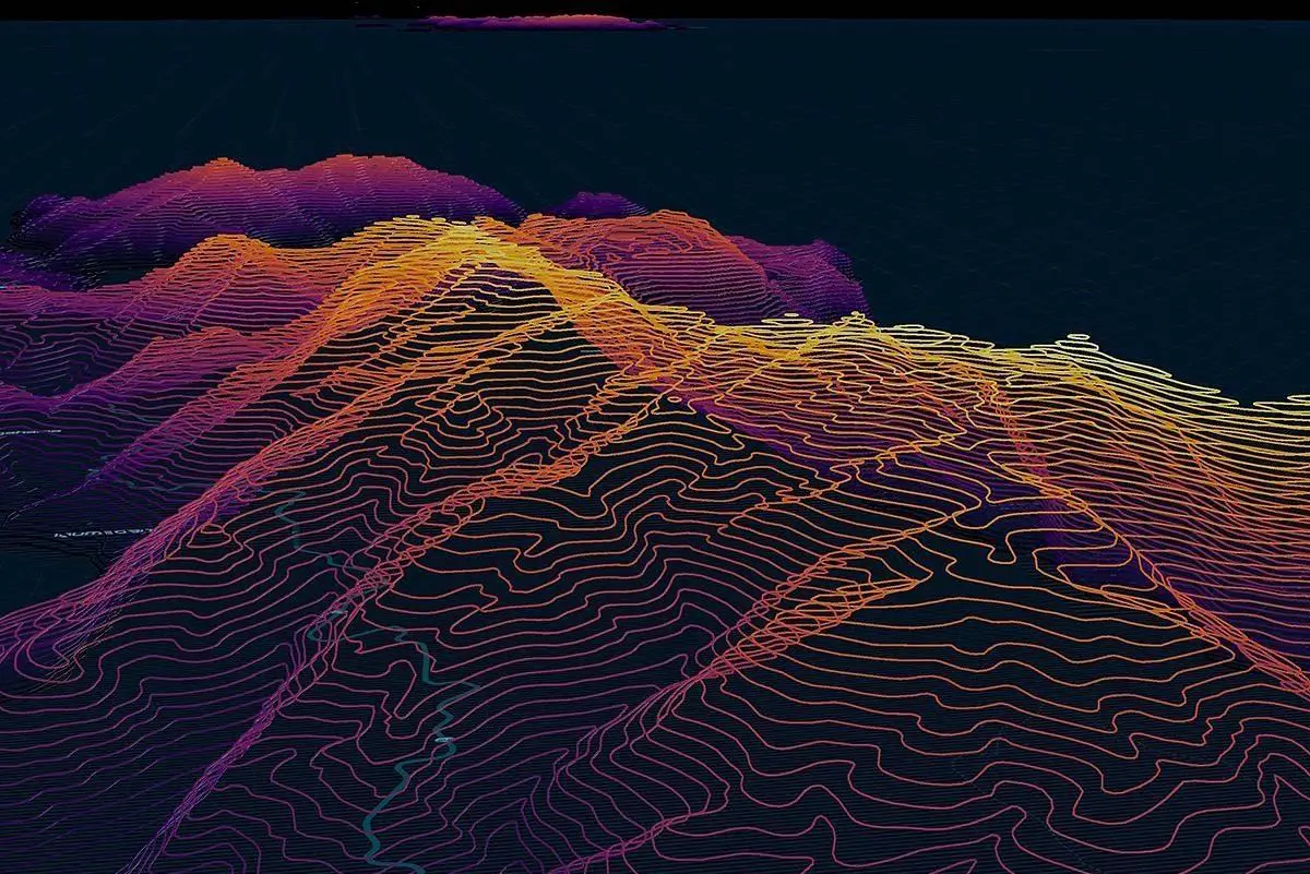
Launched in 1999 by the Environmental Systems Research Institute (ESRI), ArcGIS began as a family of software products along with an online geographic information system, or GIS. Following a decade of the then-fresh internet, the company noticed an opportunity, specifically how the “web created exciting new opportunities for map-based storytelling.” After another decade of the company’s software and GIS systems living in the world, Allen Carroll approached ESRI with the idea to create “specific story topics and build custom user experiences to support those stories.” After working as the art director and chief cartographer at National Geographic for 27 years, Carroll helped ESRI launch the ArcGIS StoryMap program. These stories cover everything from environmental science to the origin points of the passengers of the Titanic.
https://www.instagram.com/p/Cc3H_L7O5cx/?utm_source=ig_web_copy_link
After years of experimenting with and trying to create a way for people to make their own map-driven narratives, the company found success. In July 2019, it finally upgraded its ESRI StoryMap to become a more interactive experience for users. It was a version, according to the official ESRI website, “that allows you to share your maps in the context of narrative text and other multimedia content.” When it was first developed, ESRI’s StoryMap feature was just a way of mapping data. Today, it is an outlet for teachers and college students to tell their own stories and spread awareness for countless topics and current events.
The maps portion of ArcGIS has always been a strength for ESRI, but allowing for storytelling to accompany its standard features opened the door to a whole new pool of users. Along with STEM students and data analysts, liberal arts students are also encouraged to dip their toes into the world of geo-mapping. They can compose stories and embed their own express maps to add context or information. With tools that allow users to do anything from creating image galleries to recording original audio and video for their projects, the sky’s the limit for what kinds of stories people can tell.
https://www.instagram.com/p/CTkIUQfl-90/?utm_source=ig_web_copy_link
In recent years, the company’s programs have received praise for their ability to give voices to marginalized communities, many of which create maps of their own. For example, ArcGIS StoryMaps allows for inclusive storytelling, and studies of the platform’s Virtual Field Experiences illustrate how these spaces have become a gateway to “mitigate alienation, harassment, and sexual assaults experienced in field situations by trainee scientists, people of color, and members of the LGBTQ communities.” Students now have a program, unlike PowerPoint or Word, where they can use functions like mapping to incorporate place-based stories that signal value and support for their cultural context.
One example of a StoryMap created to give voices to different communities is “The Voices of Grand Canyon.” This project maps out the 11 Indigenous tribes around the Grand Canyon and uses in-StoryMap links to tell their stories through audio files and video clips that give context to the history of the Zuni, Diné, Hopi, Havasupai and Hualapai tribes. The StoryMap has since earned a spot in the ArcGIS gallery, ensuring that readers are aware of the canyon’s historical past, and not just its geological one. Another StoryMap on the platform has given attention to “Women in National Parliaments.” The StoryMap highlights how women remain underrepresented in international politics. The authors prove their point by illustrating the percentage of women in parliaments around the world, with the highest in Rwanda, at 55%. The StoryMap also identifies barriers for women who want to run for office, as well as offers strategies that could be implemented in places like the U.N. to inspire more women to campaign for office.
Despite these StoryMaps making the official ArcGIS gallery, none have reached headlines quite like the next one. The two previous examples originated from more professional organizations, but everyday people have found just as much success in telling stories through StoryMaps. In April, a showcase of StoryMaps was presented at the University of Redlands. A group of students displayed their spring seminar project on Holocaust Remembrance. Specifically, the project was about “retelling Holocaust survivors’ stories, based on their study of Holocaust testimonies from the USC Shoah Foundation Video History Archive.” What otherwise could have been a presentation with slides became a much more interactive display. One goal of the students’ projects was to see if the platform could “visualize the terrifying, tumultuous journeys of Holocaust survivors.”
With technology advancing, especially in this new age following the COVID-19 outbreak, teaching and giving students new resources to communicate data and research is more important than ever. By allowing them to use a platform like ArcGIS, educators enable students to create a story that can effect change, influence opinion and create awareness in their environment. Now that learning environments have adapted to different forms of teaching, either over Zoom or in the classroom, so have the outlets through which this information is taught.
https://www.instagram.com/p/CUqFJKsl0KU/?utm_source=ig_web_copy_link